Flash Flood Monitoring for Shropshire Council in United Kingdom.
Project Details.
Customer: Shropshire Council
Project Partners: Milesight IoT , Kerlink , Actility
Background: Shropshire and the wider River Severn catchment are increasingly affected by flash flooding, driven by climate change, intense rainfall events, and surface water accumulation across rural and semi-urban areas. Traditional flood monitoring methods rely heavily on manual inspections and static infrastructure, which often fail to provide timely warnings at hyperlocal level. To address this challenge, Shropshire Council, through the River Severn Partnership Advanced Wireless Innovation Region (RSPAWIR) programme, deployed advanced wireless sensing technologies to improve early flood detection, community resilience, and data-driven decision making. CyRIC IoT supported the programme by delivering low-power IoT monitoring solutions capable of operating reliably in remote and flood-prone environments.
Challenge: Local authorities face several operational and technical challenges when managing surface water and flash flood risk:
Lack of real-time visibility in gullies, watercourses, and flood-prone locations
High cost and inefficiency of manual inspections, especially after storms
Limited early warning for communities at risk
Poor connectivity in rural areas where flood risk is often highest
Difficulty proving the effectiveness of Natural Flood Management (NFM) interventions
The need was clear:
A scalable, low-maintenance, wireless flood monitoring system that could operate autonomously and integrate with council workflows.
Solution Provided:
CyRIC IoT, working with Shropshire Council and project partners, deployed a LoRaWAN-enabled flood monitoring infrastructure across selected high-risk locations, including:
Surface water gullies
Small watercourses and culverts
Known flash-flood hotspots near residential areas
The solution included:
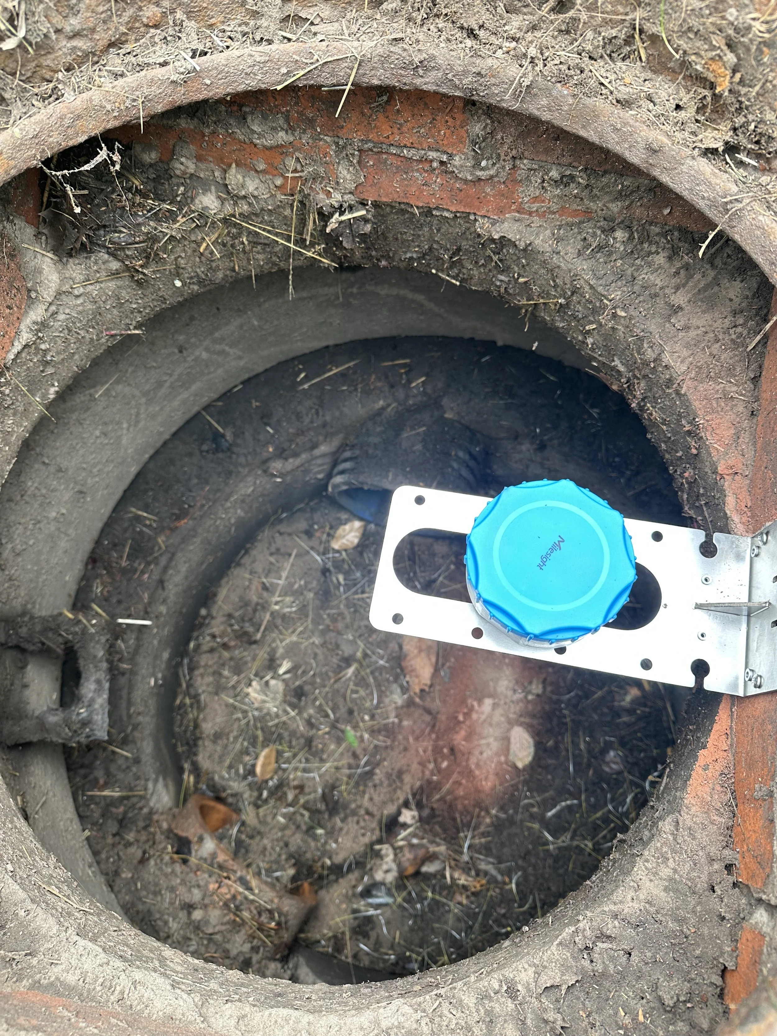
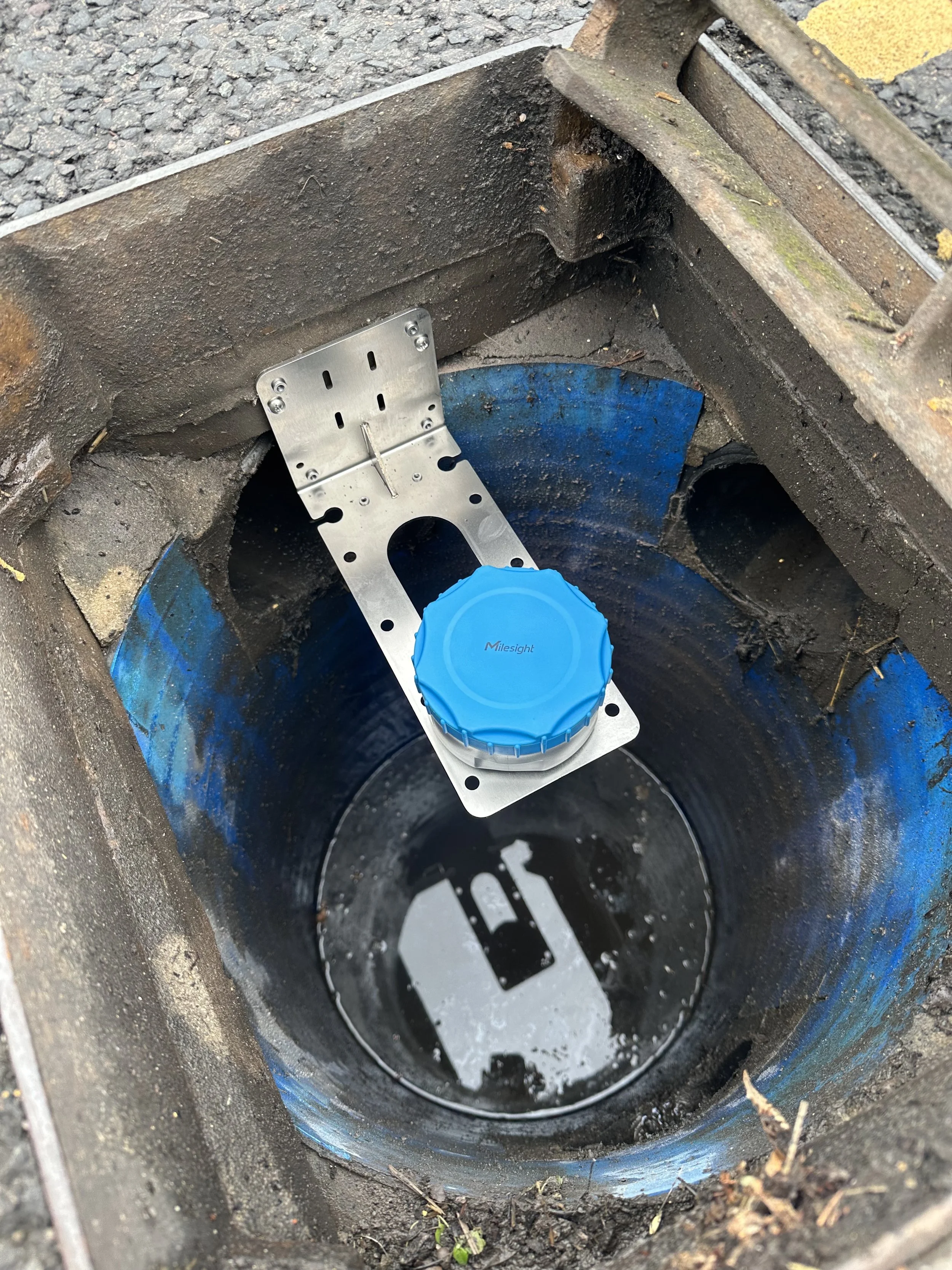
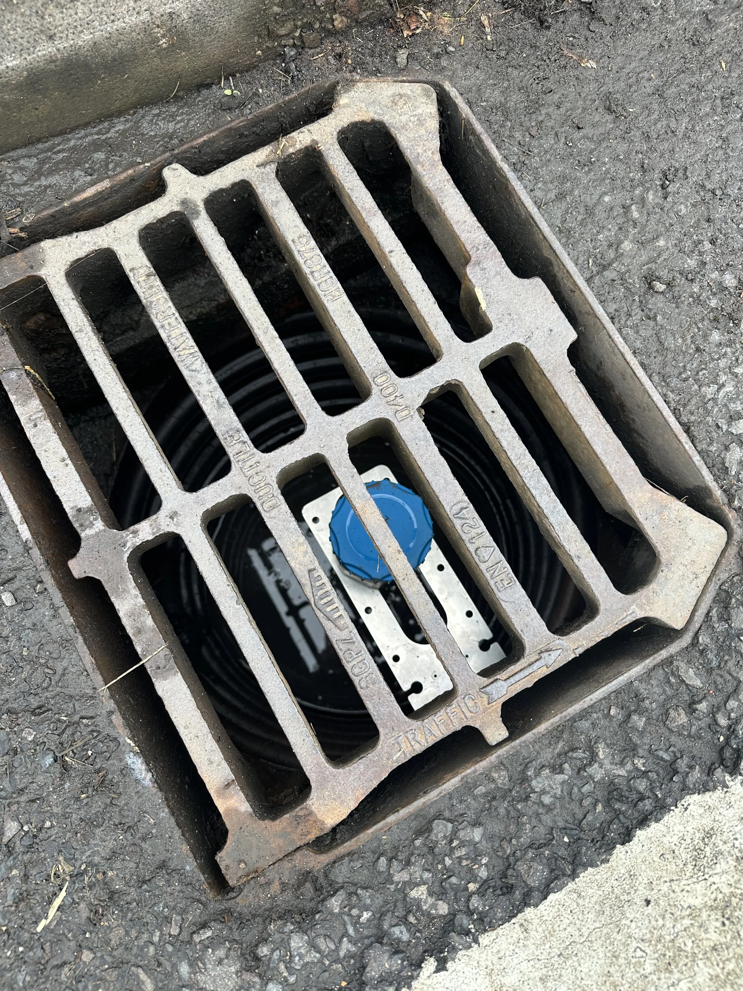
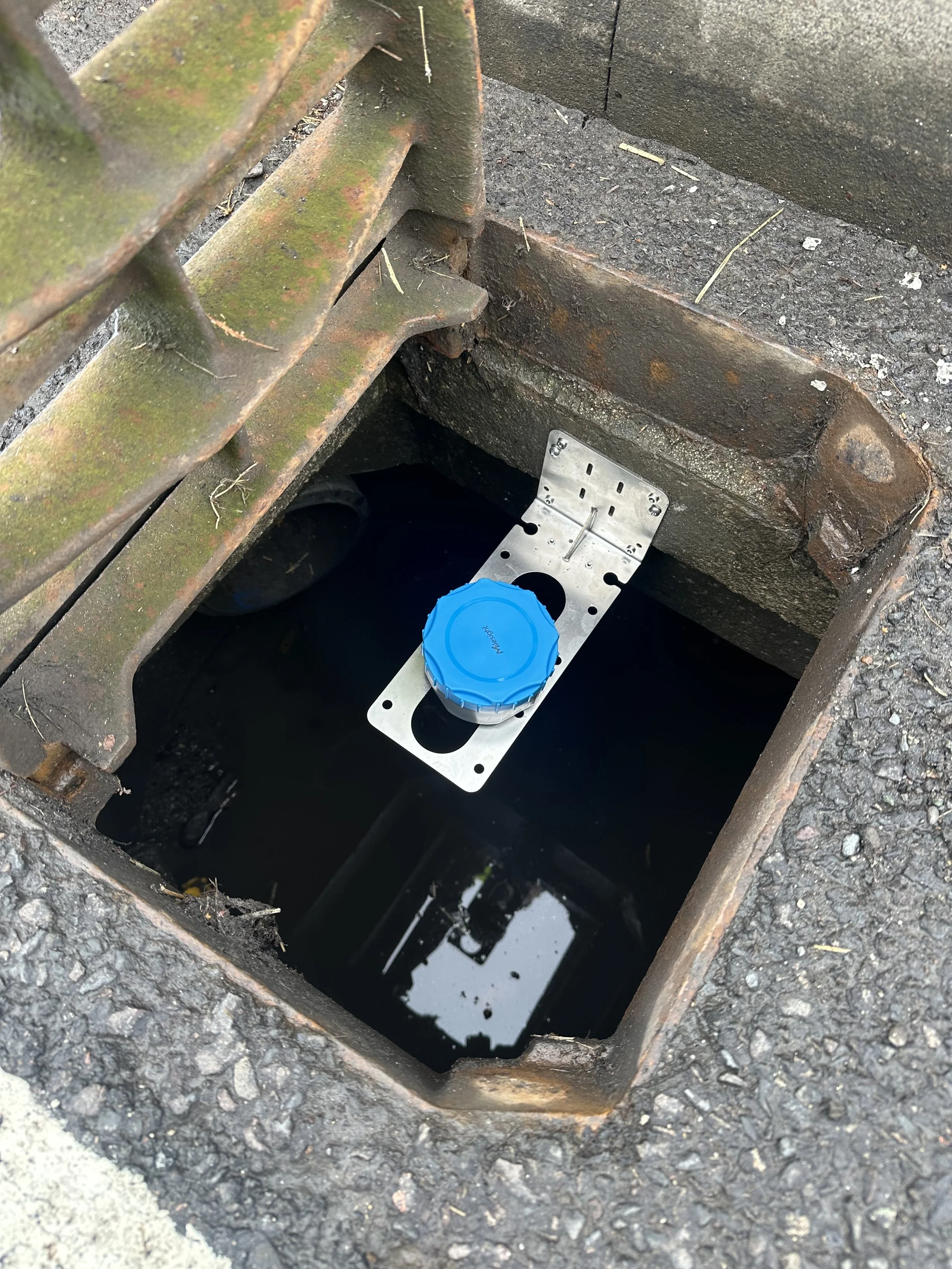
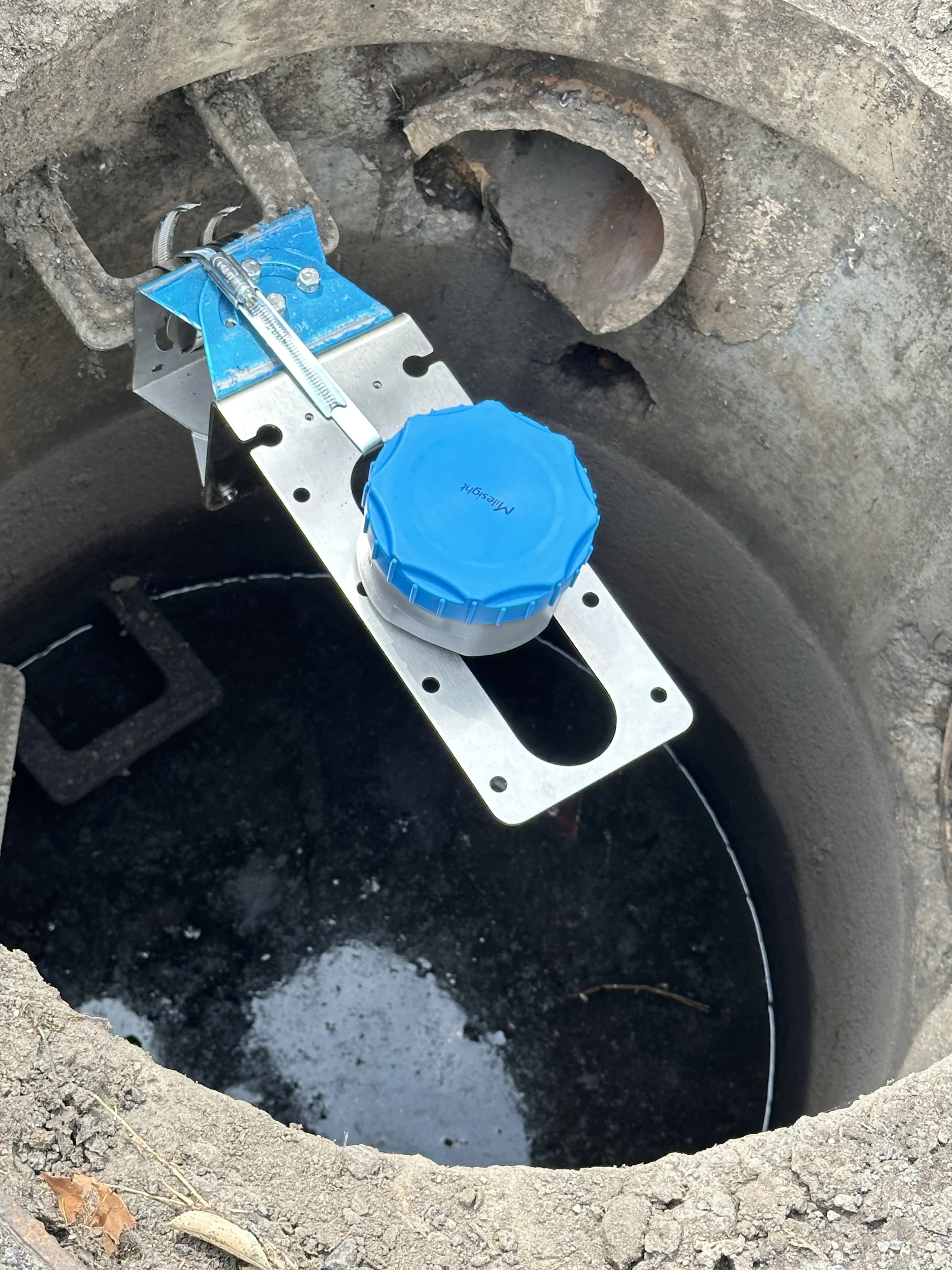
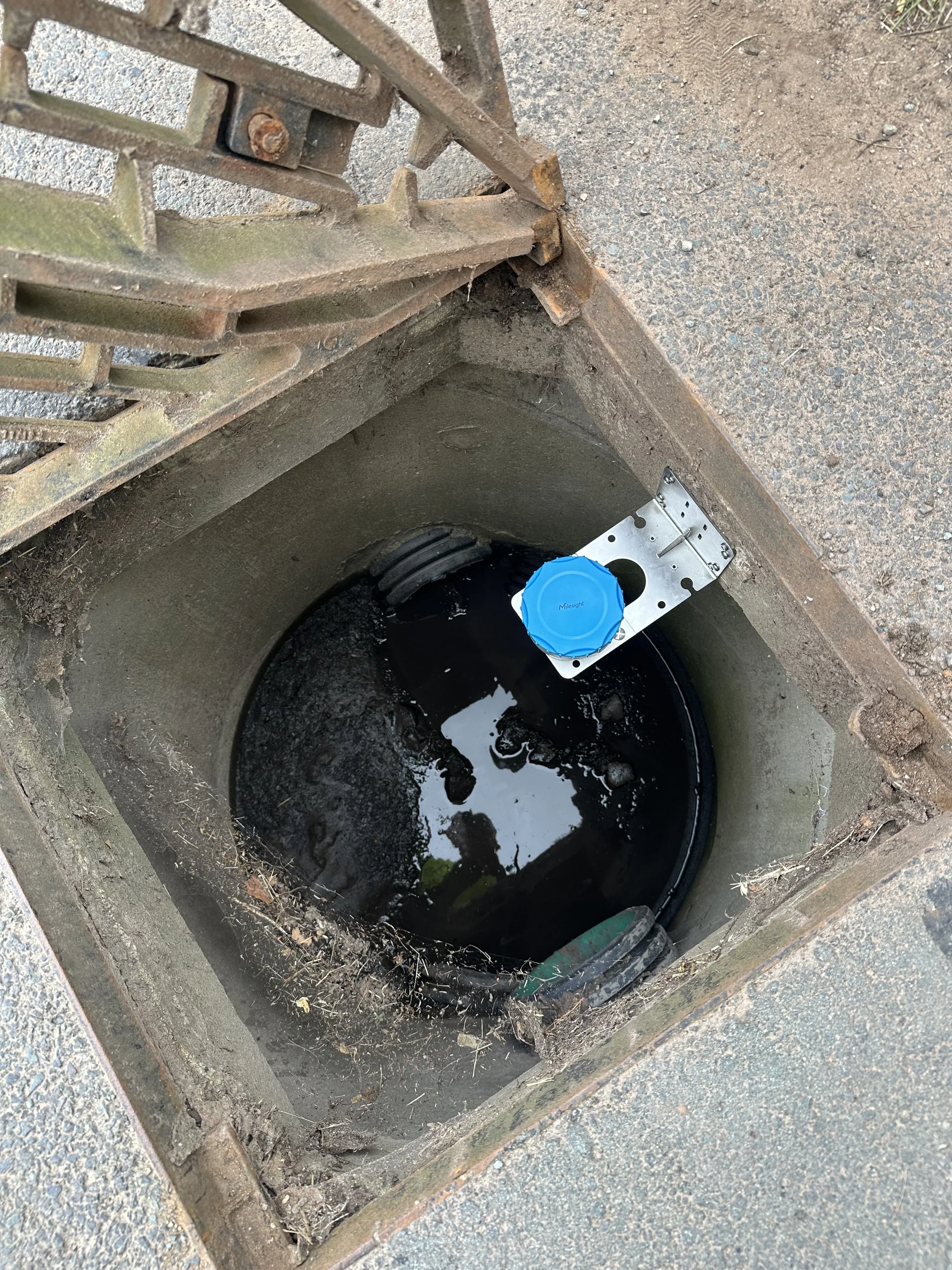
Water level and silt accumulation sensors installed inside gullies and drainage assets
Low-power wireless connectivity (LoRaWAN) ensuring multi-year battery life
Automated threshold-based alerts when water or silt levels reached critical limits
Cloud-based dashboards providing real-time situational awareness
Technology Stack:
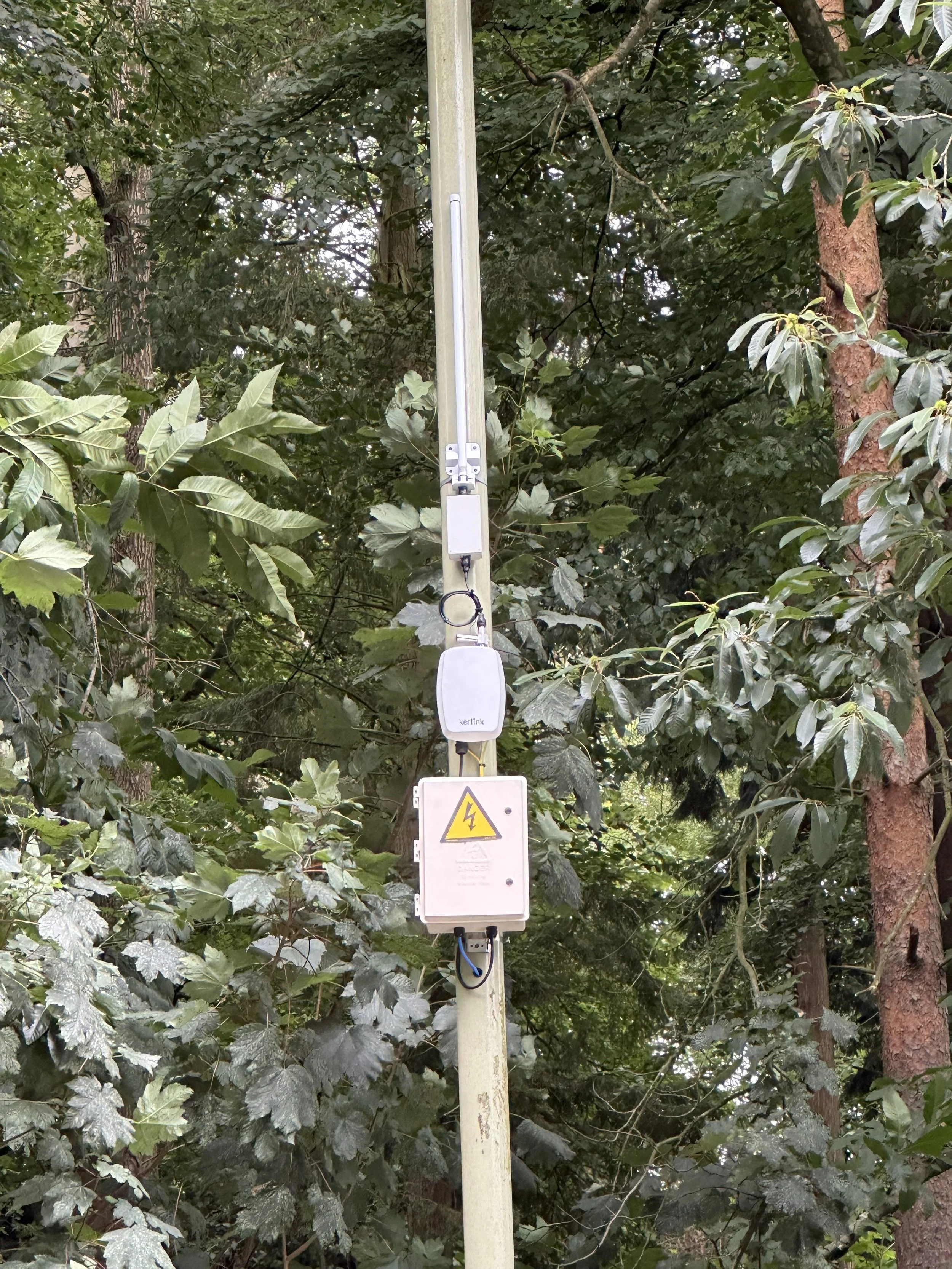
LoRaWAN Network
5 x Kerlink Wirnet iStation Outdoor LoRaWAN Gateway
2 x Milesight SG50 Ultra Low Power Solar LoRaWAN Gateway
LoRaWAN Network Server
Actility LoRaWAN Network Server
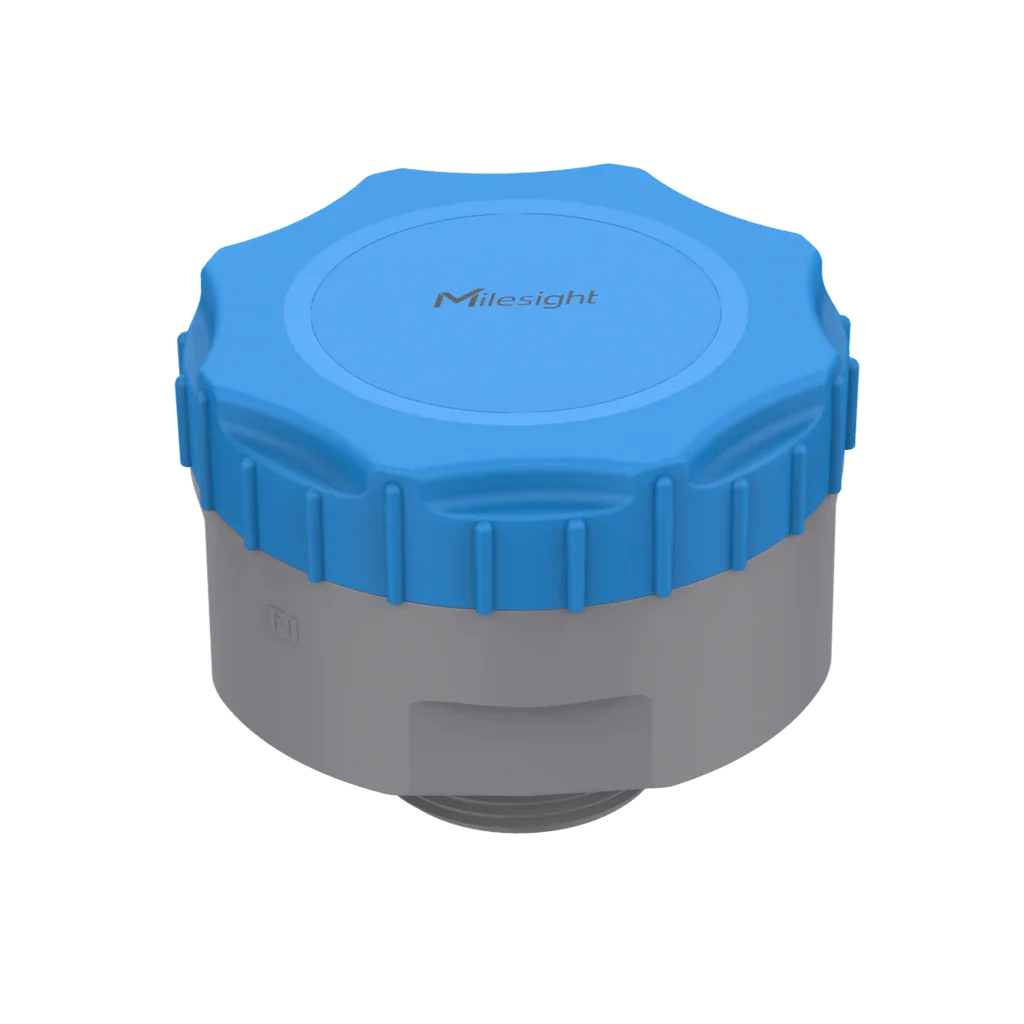
Radar Distance/Level Sensors
16 x Milesight EM410-RDL LoRaWAN Radar Distance/Level Sensor
Web Platform & Mobile Application
CyRIC IoT Web Platform and CyRIC IoT Mobile Application
Key Outcomes:
The deployment delivered immediate and measurable benefits:
Earlier detection of flood risk, enabling proactive response
Reduction in reactive emergency call-outs
Improved targeting of gully cleaning and maintenance activities
Enhanced community preparedness through timely flood alerts
Data collection to validate the impact of Natural Flood Management measures
Lower operational costs through just-in-time maintenance
A long-term data asset, allowing Shropshire Council to move from reactive flood response to predictive flood risk management